
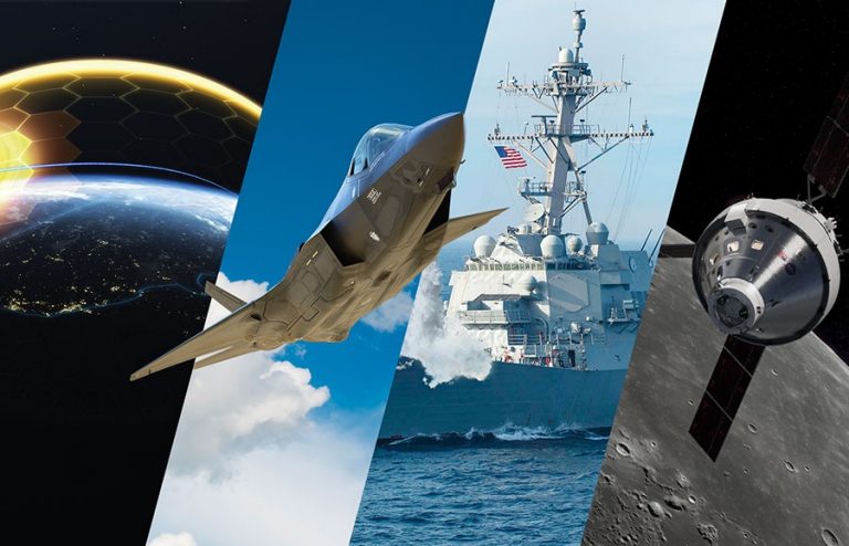
All-domain deterrence now and for the future needs of those who serve.
Fast-moving threats require agile deterrence with compatible platforms. 21st Century Security® isn’t just an updated system, but a new standard of architecture and open-system integration. Our allied partners require deterrence platforms that are interoperable and networked into an ecosystem designed for a new standard of connected protection.
Connected systems save seconds when seconds matter most.
In an uncertain and volatile world, a strong defense industry requires anti-fragility – investing ahead of need to ensure production of critical security systems can withstand disruptions and thrive in the face of adversity.
21st Century Security Vision:
We aim to build a more advanced, resilient and collaborative defense industry - working with our industry and commercial partners to deliver more cutting-edge capabilities faster and more affordably to our customers.
Centering on three lines of effort:
Building a more advanced defense industry by aggressively adopting and inserting 21st century digital technologies into the defense enterprise with a standards-based, open architecture approach.
Increasing industry resilience by applying anti-fragility measures to ensure operations withstand shocks and disruptions on a large scale and at a faster speed.
Fostering a more collaborative ecosystem that harnesses the advanced infrastructure of the United States and our allies by establishing key production and maintenance facilities in trusted nations.
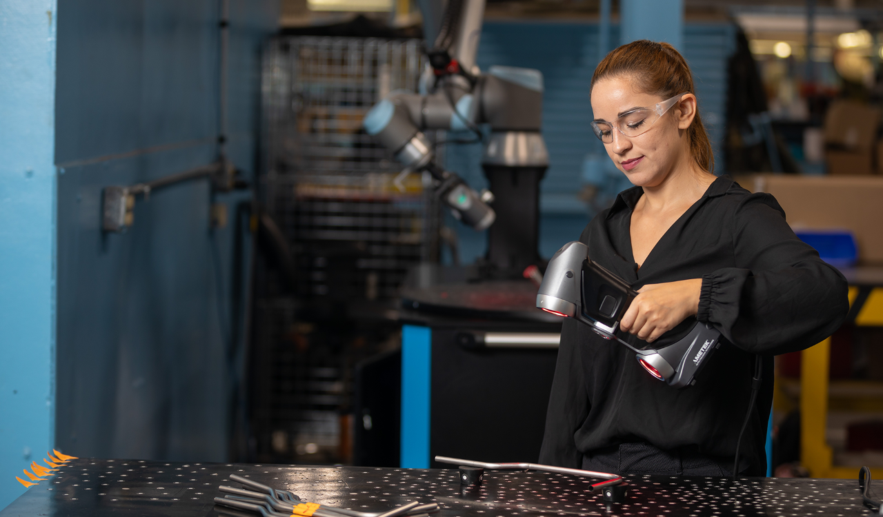
Delivering 21st Century Security® requires 21st century talent.
To create this new standard of architecture and open-system integration, we're hiring individuals with a particular set of skills across disciplines and backgrounds, from machine learning to software engineering.
Ready to work together to tackle complex challenges and push the boundaries of innovation?