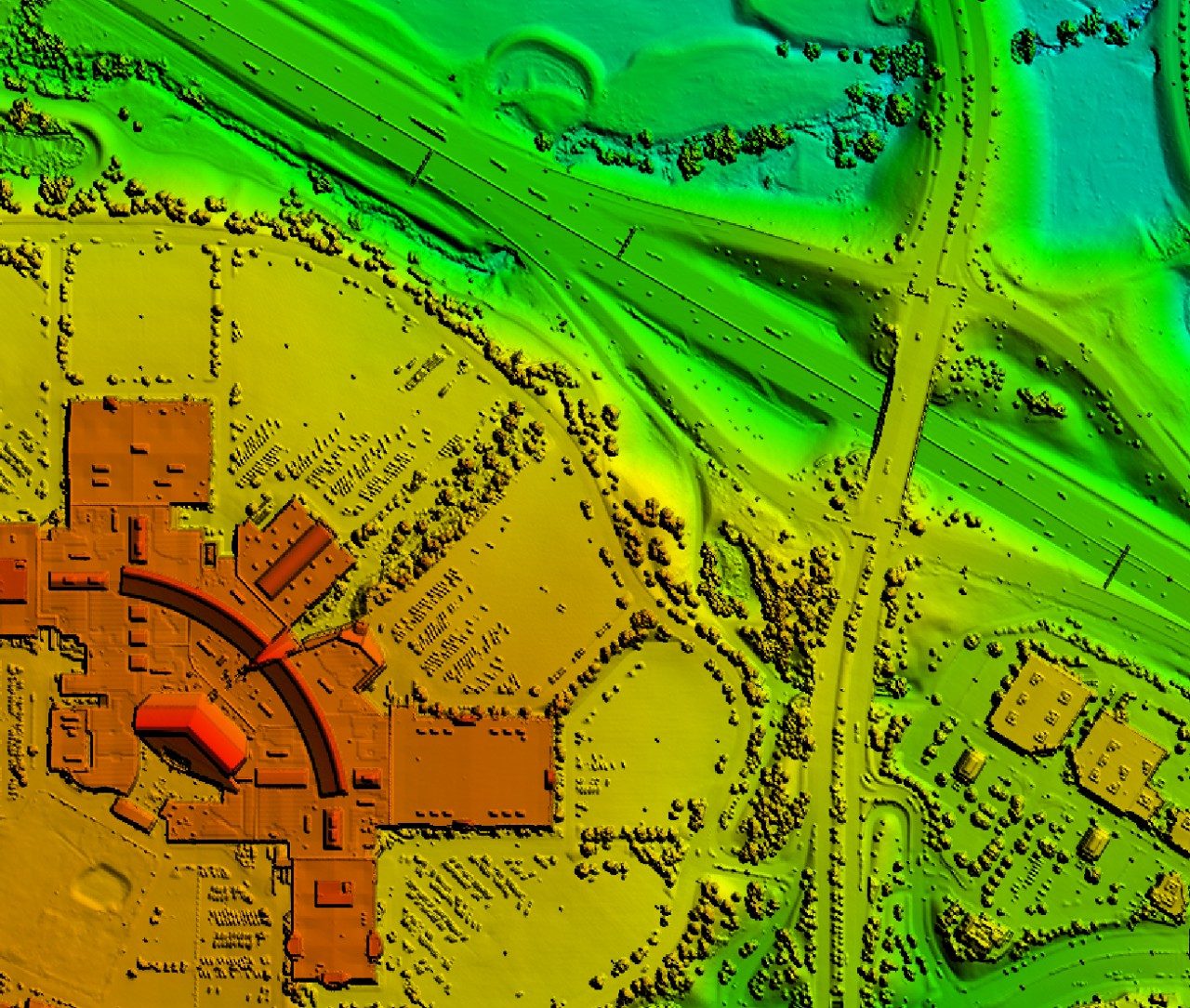
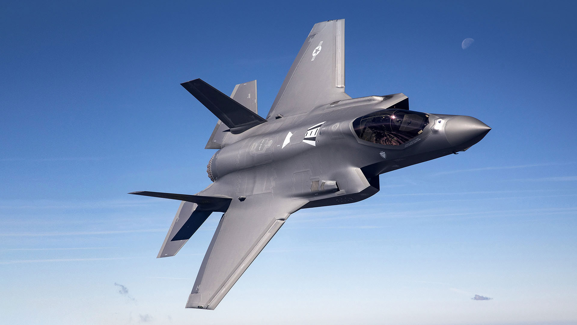
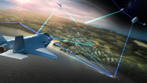
Lockheed Martin’s Geospatial Technology team has a 20+ year history of creating discriminating solutions for our customers. With our expertise and products, we transform geospatial data into solutions for both commercial and defense markets. Our core competencies include precision targeting, supercomputing, digital twin technology, cloud architectures, terrain analytics, workflow automation and 3D processing. We have a proven track record of applying specialized technologies to solve complex geospatial problems.
Rosetta3D® and OpenRosetta3D® represent our core geospatial processing and workflow management products:
Rosetta3D (R3D®) Geospatial Processing Engine

Rosetta3D is a commercial processing engine that leverages a plugin architecture, memory-optimized pipelines and a Graphics Processing Unit (GPU) implementation to abstract sources of data from processing algorithms. R3D supports rapid prototyping of new workflows, data interoperability and seamless integration of new sensors. With proven processing capabilities for photogrammetry, machine learning, 3D and geo-accuracy, R3D is a powerful Geospatial Intelligence (GEOINT) solution ready to deploy. Its C++ interface makes R3D extensible and supports tight integration with systems that require high-performance.
OpenRosetta3D (OR3D®) Geospatial Production Management System

Developed under a government purpose use license, OpenRosetta3D is a workflow management system designed for global scale GEOINT production. OR3D orchestrates and scales complex workflows by connecting best-of-breed containerized algorithms into executable processing pipelines. By abstracting computer resources from workflow management, OR3D can deliver cloud, on-premises or hybrid processing solutions that scale to the mission.
Through commercial catalog pricing we offer products and services ranging from software licenses, software customization services, workflow implementation and data production services including our commercial 3D terrain surface data solution, PrecisionTerrain®.
PrecisionTerrain, Rosetta3D, R3D, OpenRosetta3D, and OR3D are registered trademarks of Lockheed Martin Corporation.
Media and Press Inquiries
Christina Valecillos
(786) 375-0810
For product information and pricing


