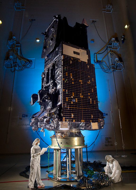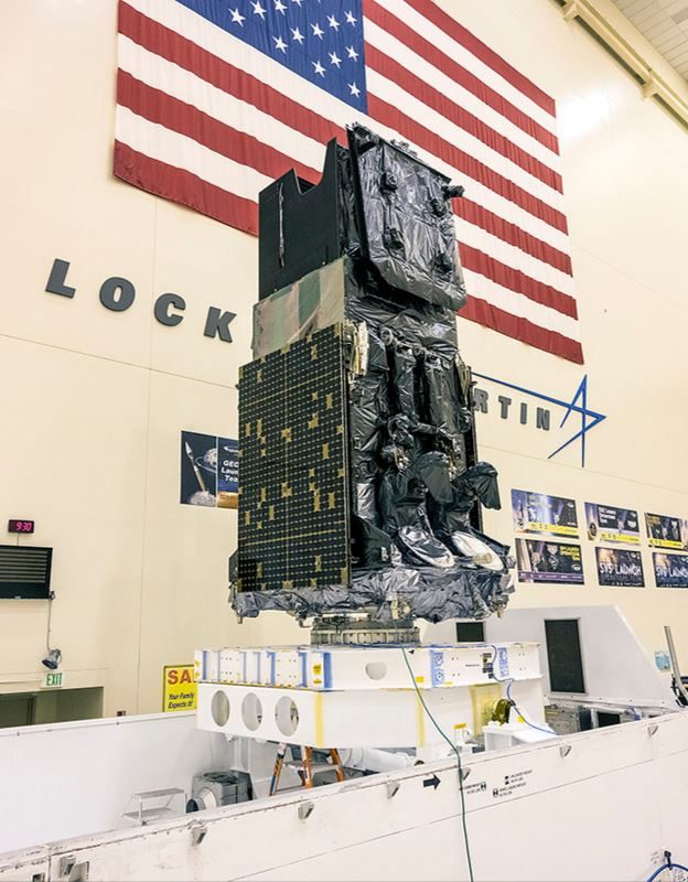

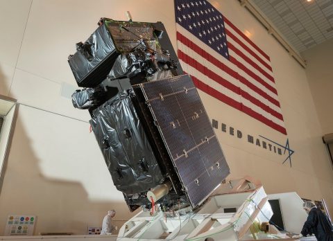
Lockheed Martin's Sixth And Final SBIRS Missile Warning Satellite Successfully Launched, Now Under U.S. Space Force Control.
SBIRS uses infrared surveillance to provide early missile warning for the U.S. military and is considered one of the nation’s highest priority space programs. The system includes a combination of satellites and hosted payloads in Geosynchronous Earth Orbit (GEO) and Highly Elliptical Orbit (HEO) and ground hardware and software.
SBIRS Missions
Missile Defense
Critical information supporting the effective operation of missile defense systems.
Battlespace Awareness
Comprehensive IR data to help characterize battlespace conditions.
Missile Warning
Reliable, unambiguous, timely and accurate warning for theater and strategic missile launches.
Technical Intelligence
Characterize IR event signatures, phenomenology and threat performance data.
Powerful Data Source
SBIRS has powerful overhead sensors that provide vast amounts of data. At the SBIRS Mission Control Station, Overhead Persistent Infrared Battlespace Awareness Center at Buckley Space Force Base, Colorado, this data is being used for operational applications across areas like battlespace awareness, intelligence and 24/7 tactical alerts.
As the demand for remote sensing capabilities continues to rise, the U.S. Air Force’s newly created data utilization Lab is bringing together government, industry and academia to better understand how data from satellites like SBIRS can be better applied on and off the battlefield.
Evolving SBIRS
These newest infrared surveillance and missile warning satellites, known as GEO-5 and GEO-6, are built on Lockheed Martin’s modernized LM 2100 Combat Bus™, which provides additional capabilities such as cyber hardening, resiliency features, enhanced spacecraft power, and improved propulsion and electronics.